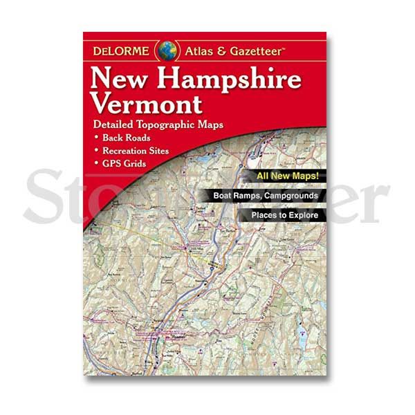
Delorme Atlas And Gazetteers
Delorme Mapping
Softcover
ISBN: 0-89933
An essential item for every angler, these state specific trip planners detail everything from major highways to minor gravel roads. With special grid coordinates to facilitate navigation with Global Positioning Systems, these comprehensive atlases are printed with color-shaded terrain relief giving an almost 3-D topographic effect. With virtually any and every lake, river, and intermittent stream bed shown in vivid detail, with boat ramps, access roads, and more clearly marked; the Delorme Atlas and Gazetteer even includes information about special points of interest like parks, paddle-bike-hiking trails, campgrounds, hunting and fishing areas, special events, museums, historic sites and so much more. Atlases measure 11 x 16 inches.
Write Your Own Review


